|
Yarrow, British Columbia
Edited by
Esther Epp Harder, Edwin Lenzmann, and Elmer Wiens
Yarrow Area Maps
 |
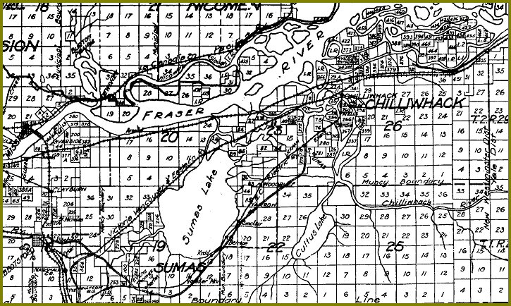
1865-1899 Map of Chilliwack and Area
Photograph Courtesy of Chilliwack Archives
This map, 1865-1899 Map of Chilliwack and Area Courtesy of Chilliwack Archives, shows Yale Road skirting the south side of Sumas Lake
and then crossing Majuba Hill, proceeding along the side of Vedder Mountain (Lovers' Lane), and then heading North-East to cross the
Vedder River in the vicinity of the north end of Ford (Giesbrecht) Road, before heading for Chilliwack. This was one of the routes
that gold prospectors took on their way to the Cariboo and Barkerville.
|
|---|
 |
1910 Map of the Upper Fraser Valley
Vancouver Map and Print Company
Esther Epp Harder Collection |
|---|
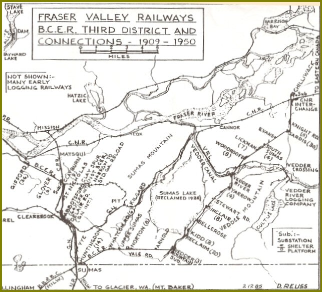 |
1909-1950 Fraser Valley Railways: B.C.E.R. Stations
Ewert, Henry. The Story of the B.C. Electric Railway Company. North Vancouver, BC: Whitecap Books, 1986. 187. |
|---|
 |
Sumas District: Drainage, Dyking, & Development
10,142 Acres of Virgin Land for Sale
Esther Epp Harder Collection |
|---|
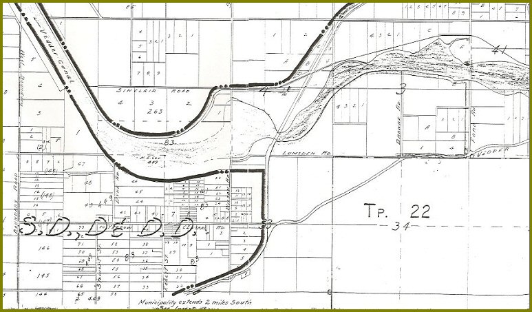 |
Sumas District: Drainage, Dyking, & Development — Showing Property Subdivision into Lots
Esther Epp Harder Collection |
|---|
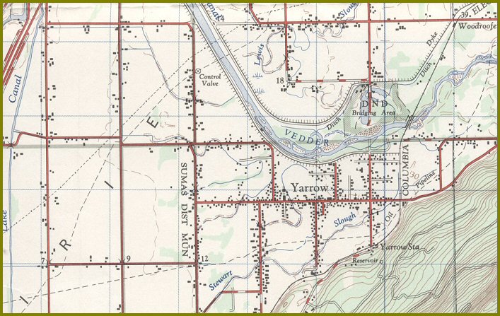 |
| Yarrow Waterways — from Topographical Map |
|---|
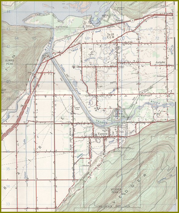 |
| Yarrow — Sumas Topographical Map |
|---|
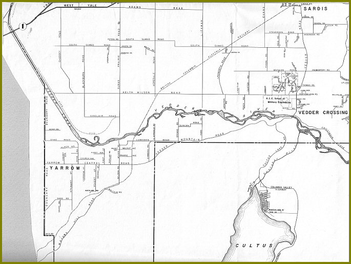 |
Yarrow from 1963 Map of Chilliwack / Chilliwhack Municipality
Published by BC Directories, Drawn by Glen Morley. |
|---|
|
|
